East Pioneer Mountains
Backpacked July 12 & 13, 2016
18 Miles, 4054 ft gross elevation gain/loss
Recommended Season: Late June to Mid October depending on snow.
Click this LINK for an interactive map
Looking into a solo backpacking route close to my home in Dillon, Montana it's natural to look at the Pioneer Mountains. The East Pioneers are particularly rugged offering great views to anyone willing to climb to get them and by careful trail selection backpackers can avoid trails with motorized use.
I decided on a route based on it's potential beauty and wanting to train for an August trip in the Wind Rivers. The route I had planned started from Brownes Lake, headed west over Rock Creek Pass, downhill past Tahepia Lake, then north past Teacup Lake over another pass with my overnight at Crescent Lake. So much for plans. Search as I might I could not find the Forest Service Trail that was supposed to turn north to Crescent Lake. I could have bushwhacked the route pretty easily but traveling alone over wet slippery terrain, and having promised Eve I wouldn't take any risks I didn't have to, I opted to spend my night at Schulz Lake instead. It was still a great trip despite the change of plan.
Mount Tahepia reflected in Schulz Lake early morning.
Trailhead
The trailhead isn't hard to find. All that's needed is a high clearance two-wheel drive and an adventurous spirit. Take Exit 85 off Interstate 15 between Melrose and Dillon, Montana. Turn Northwest from the Interstate and follow the signs to Brownes Lake. The road to the lake pretty well marked and in very good condition. Time to tighten your seat belt however, and continue driving the route along the lake's north shore through the scree slope. It's really not bad, just narrow if you meet another vehicle. Once beyond the lake relax a little and keep driving past several random campsites until you find a Forest Service outhouse to your left on the edge of a meadow. Park near the outhouse, you'll probably want to use it. The trail begins a very short distance up the road but it's best to park here.
Trail Conditions & Needed Skills
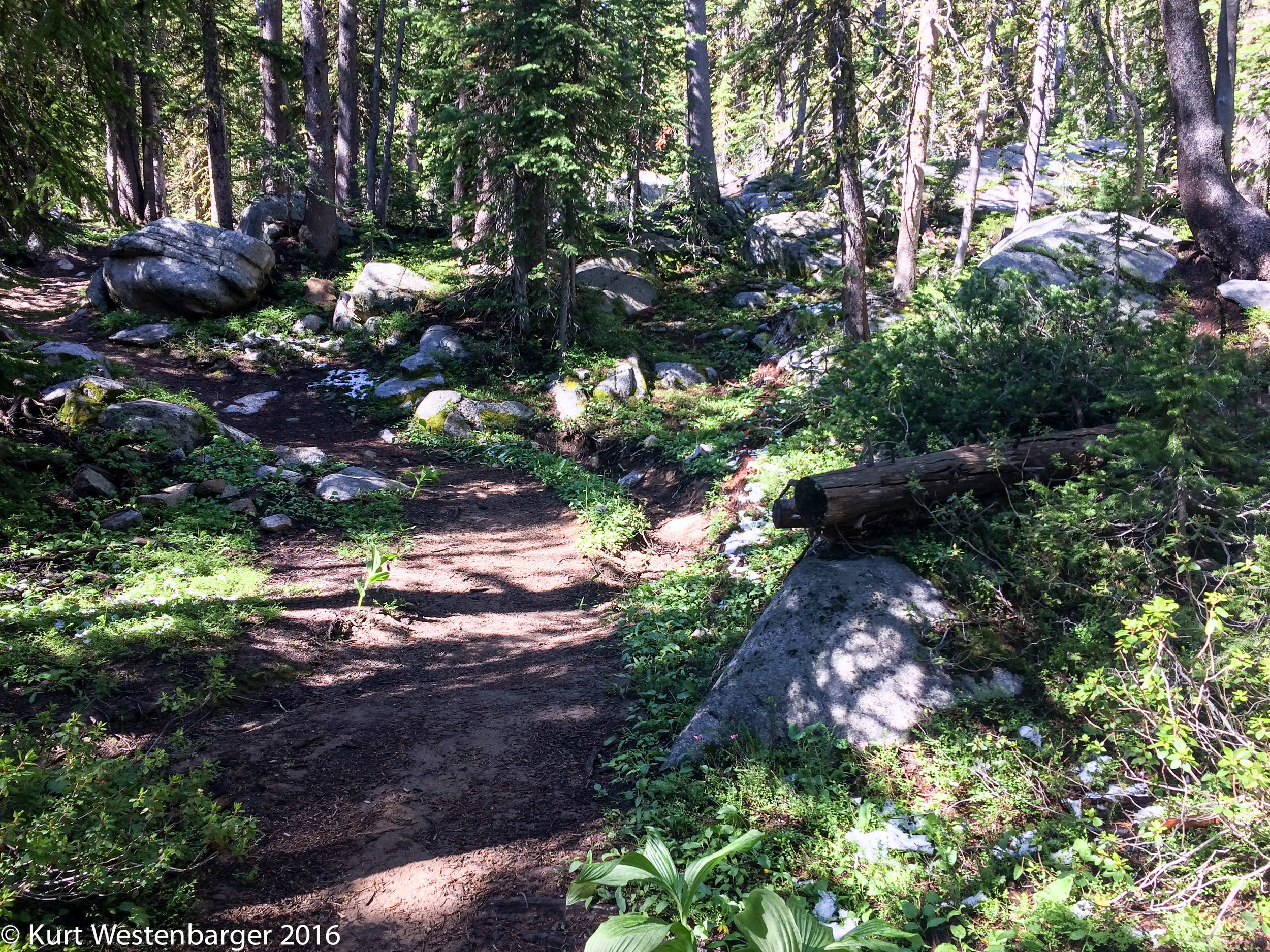
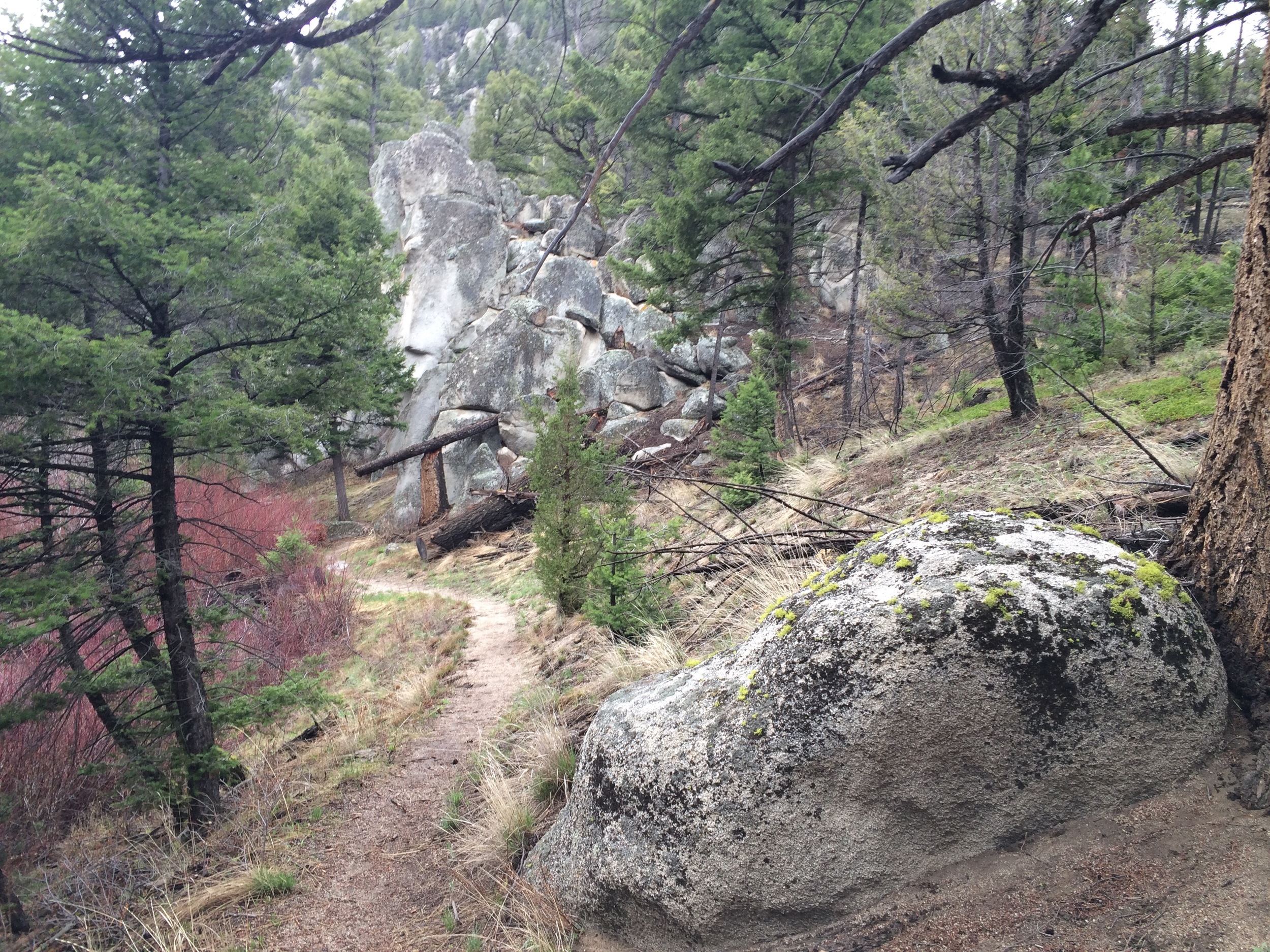
The trail follows an old road grade until you reach Waukena Lake where it becomes single track the rest of the way. After Waukena Lake the trail starts to get serious about gaining altitude but switchbacks keep it from being too steep. The trail is fairly easy to follow. I did manage to loose the trail in several inches of snow from a storm the night before but finding it again wasn't much of a challenge. Novice backcountry navigators may be challenged in a few locations however, as signage, where it exists at all, is pretty poor. Finding the continuing trail from Waukena Lake and the trail intersection at Tahepia Lake could be difficult. Bring your preferred GPS device and a map and compass backup.
Finding surface water is not a problem for most of this trail. The exception is Rock Creek Pass which is dry but there's plenty of water on both sides.
Finding suitable camping is not a problem. There are loads of good locations between the trailhead and Waukena Lake, several okay spots either side of Rock Creek Pass, and of course Tahepia and both Schulz Lakes have no shortage of pretty locations. I camped in a grove of small lodgepole at Schulz Lake for protection from two hours of hail, rain, thunder and lightening.
Blue sky morning over my Tarptent Notch.
Flora and Fauna
I was a little disappointed in the wildlife on my trip. This was not due to their lack mind you. Based on tracks and scat I had ample opportunity to see deer, bighorn sheep, elk, moose and even a wolf. But as luck would have it I saw only a deer and several golden-mantled ground squirrels.
Flowers, on the other hand, were everywhere. Columbine, paintbrush, shooting stars, mountain heath, sego lily, glacier lily, mountain death camas ... the list goes on.
Novelties and Conclusion
I wish I knew more of the area's history as the more westerly Schulz Lake has two log cabin ruins on the west shore. I don't know if these are vacation cabins or working cattle or sheep operations but they were fairly large as mountain cabins go. Perhaps someone will email me their story - please.
A ruined log cabin at Schulz Lake. Know any of it's history?
UPDATE 8/6/2016: Charlie O'Leary contacted me through Facebook about the above cabin ruin. He says: "All nice country which is why it is recommended wilderness. I think the cabins at Shultz are probably mining cabins. A few years back I found a well used miner's headlamp at nearby Teacup Lake which seemed odd since I know of no adits in that area. On a board at one of the cabins you'll find my brother's name "Butch O'Leary 67" from a trip we took up there while in high school. There was a rusty can dump there which we decided to bury, but we found a full large rust covered can of something and decided to take it with on our return down to Mono Creek. We opened it up at dinner time and it was cream style corn which we heated up and ate. Lucky we didn't all die of botulism! In 2009 our Back Country Horsemen group cleared the trail from Tahepia to Upper Shultz which provides for a small loop to hike or ride." And he posted the following photo I'm reposting with his permission. THANKS CHARLIE.

I'd recommend this route to backpackers looking for a quick overnight that's somewhat challenging yet beautiful with lots of wildlife potential.